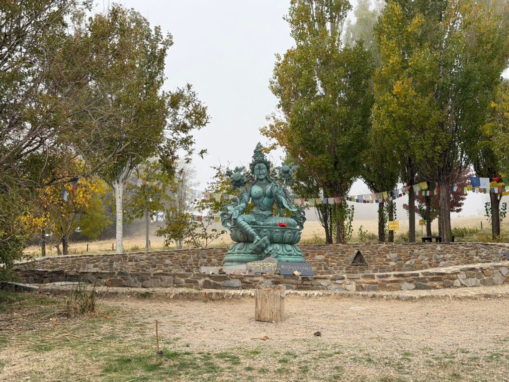
The hike starts near Centro Budista O Sel Ling. First, we follow a narrow path and a slightly overgrown trail, carefully crossing the slope and passing the Barranco de la Cueva. On the other side, the path pleasantly descends toward the Soprtujar forest house. At a junction, we take the right-hand path. Soon a steep ascent begins, turning into a trail, with stunning views over the Valle del Río Chico and Pico del Caballo.
The path leads to the Sendero Sulayr, where we turn left toward the Área Recreativa de Puente Palo. After a short stop, we return along the trail. At the junction to Capileira, we follow the Acequia del Almiar and later reach the Balsa del Almiar. Then the path descends via a firebreak, offering views of the Sierra Nevada and the Pueblos del Poqueira.
We pass the caseta de vigilancia and briefly talk to the ranger about this valuable natural area. Then we descend back, in silence and respect, to the starting point. A beautiful route that I will definitely repeat in autumn with a different starting point.
If the hike is too long or difficult, about 2 km can be shortened halfway.
La caminata comienza cerca del Centro Budista O Sel Ling. Primero seguimos un sendero estrecho y una vereda ligeramente cubierta de vegetación, cruzando con cuidado la ladera y pasando el Barranco de la Cueva. Al otro lado, el camino desciende agradablemente hacia la casa forestal de Soprtujar. En una bifurcación, tomamos el camino de la derecha. Pronto comienza un ascenso que se convierte en vereda, con vistas impresionantes del Valle del Río Chico y el Pico del Caballo.
El camino nos lleva al Sendero Sulayr, donde giramos a la izquierda hacia el Área Recreativa de Puente Palo. Tras una breve parada, regresamos por la vereda. En el cruce hacia Capileira seguimos la Acequia del Almiar y más adelante llegamos a la Balsa del Almiar. Luego el camino baja por un cortafuegos, con vistas de la Sierra Nevada y los Pueblos del Poqueira.
Pasamos la caseta de vigilancia y hablamos brevemente con el guarda sobre esta valiosa zona natural. Después descendemos de nuevo, con respeto y silencio, hasta el punto de inicio. Una ruta preciosa que repetiré en otoño con un punto de inicio diferente.
Si la ruta es demasiado larga o dura, se pueden acortar unos 2 km a mitad del recorrido.
🇬🇧🧃Always take enough water and food with you. 🌦️Always check this page before you leave to see if it will continue. 📸 If you participate in the walk, you agree to the photos taken being used on this Facebook page.❓If you have any questions, feel free to ask, but please check the FAQ page first! ⏱️The duration of the hike depends on several factors, such as the weather, the hikers’ pace, and the condition of the route. The stated time does not include travel time.
🇪🇸🧃Lleva siempre suficiente agua y comida contigo. 🌦️Verifica esta página antes de salir para confirmar si la caminata continuará. 📸 Si participas en la caminata, aceptas que las fotos tomadas se utilicen en esta página de Facebook.❓Si tienes alguna pregunta, no dudes en preguntar, ¡pero revisa primero la página de preguntas frecuentes! ⏱️La duración de la caminata depende de varios factores, como el clima, el ritmo de los senderistas y el estado de la ruta. El tiempo indicado no incluye el tiempo de viaje.
This hike is currently not scheduled. / Esta caminata no está programada en este momento.

️Length/Longitud:
️Elevation/Desnivel:
Duration/Duración:
Difficulty/Dificultad:
Type/Tipo:
Price/Precio:
Coordinator/Coordinador:
Last or next hike/
Última o próxima sendero:
