
Cónchar: Ruta de las fuentes y Atalaya de Cónchar, Valle de Lecrin

🇬🇧 

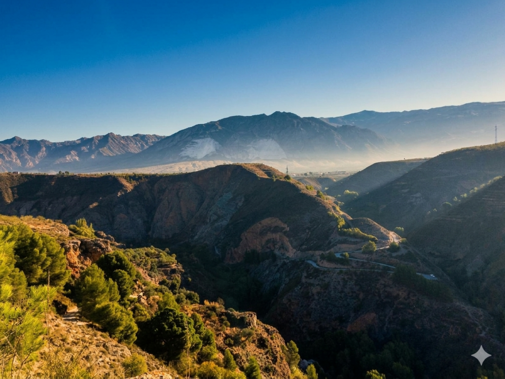
This varied hike starts in the white village of Cónchar, in the heart of the Valle de Lecrín, a region known for its citrus trees, natural springs and beautiful scenery. Soon we leave the village behind and walk through a changing landscape of valleys, pine forests and historic acequias that have carried water through these hills for centuries. Along the way, we are treated to wonderful views across the green valley and the surrounding mountains.

One of the highlights of the route is the Atalaya de Cónchar, at around 785 metres the highest point of the hike. From here, we enjoy stunning panoramas over much of the Valle de Lecrín and, on clear days, even towards the Sierra Nevada. The route also passes several historic fountains, including Fuente de la Rata, Fuente del Lino and Fuente de Palomares, which give this trail its name.

During the hike, we follow sections near the Río Dúrcal and pass several miradores overlooking ravines, streams and the surrounding countryside. The combination of water, history and Andalusian scenery gives this route a very special atmosphere. A beautiful hike full of nature, views and characteristic corners of the Valle de Lecrín.

🇪🇸 

Esta variada ruta de senderismo comienza en el pueblo blanco de Cónchar, en el corazón del Valle de Lecrín, una zona conocida por sus cítricos, sus fuentes y sus hermosos paisajes. Pronto dejamos atrás el pueblo y caminamos por un entorno cambiante de valles, pinares y antiguas acequias que durante siglos han llevado agua por estas colinas. Durante el recorrido disfrutamos de preciosas vistas sobre el valle y las montañas que lo rodean.

Uno de los puntos destacados es la Atalaya de Cónchar, con unos 785 metros el punto más alto de la ruta. Desde allí se pueden contemplar magníficas panorámicas de gran parte del Valle de Lecrín y, en días despejados, incluso de Sierra Nevada. Además pasamos por varias fuentes históricas, entre ellas la Fuente de la Rata, la Fuente del Lino y la Fuente de Palomares, que dan nombre a esta ruta.

Durante la caminata seguimos zonas cercanas al Río Dúrcal y pasamos por varios miradores con vistas a barrancos, arroyos y la naturaleza de alrededor. La combinación de agua, historia y paisajes andaluces hace que esta ruta tenga un ambiente muy especial. Una preciosa experiencia llena de naturaleza, vistas y rincones con encanto del Valle de Lecrín.

🇬🇧🧃Always take enough water and food with you. 🌦️Always check this page before you leave to see if it will continue. 📸 If you participate in the walk, you agree to the photos taken being used on our Facebook page.❓If you have any questions, feel free to ask, but please check the FAQ page first! ⏱️The duration of the hike depends on several factors, such as the weather, the hikers’ pace, and the condition of the route. The stated time does not include travel time.

🇪🇸🧃Lleva siempre suficiente agua y comida contigo. 🌦️Verifica esta página antes de salir para confirmar si la caminata continuará. 📸 Si participas en la caminata, aceptas que las fotos tomadas se utilicen en nuestra página de Facebook.❓Si tienes alguna pregunta, no dudes en preguntar, ¡pero revisa primero la página de preguntas frecuentes! ⏱️La duración de la caminata depende de varios factores, como el clima, el ritmo de los senderistas y el estado de la ruta. El tiempo indicado no incluye el tiempo de viaje.

This hike is currently not scheduled.
Esta caminata no está programada en este momento.

Hike details / Detalles del sendero

Length / Longitud:

11.5 km

Elevation / Desnivel:

300 m

Duration / Duración:

±4 hours/horas

Difficulty / Dificultad:

Moderate/Moderado

Type / Tipo:

Circular Linear

Price / Precio:

Free/Gratis

Coordinator / Coordinador:

Jasper

Hike date / Fecha de caminata:

01-01-2001

Features / Características

Hike / Sendero, Experimental / Experimental
Soon / Pronto:
Wikiloc Route